Image note
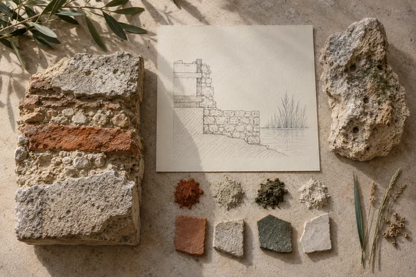
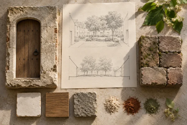
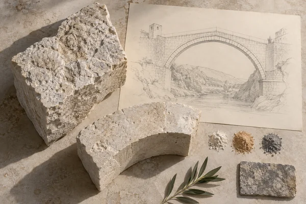
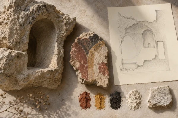
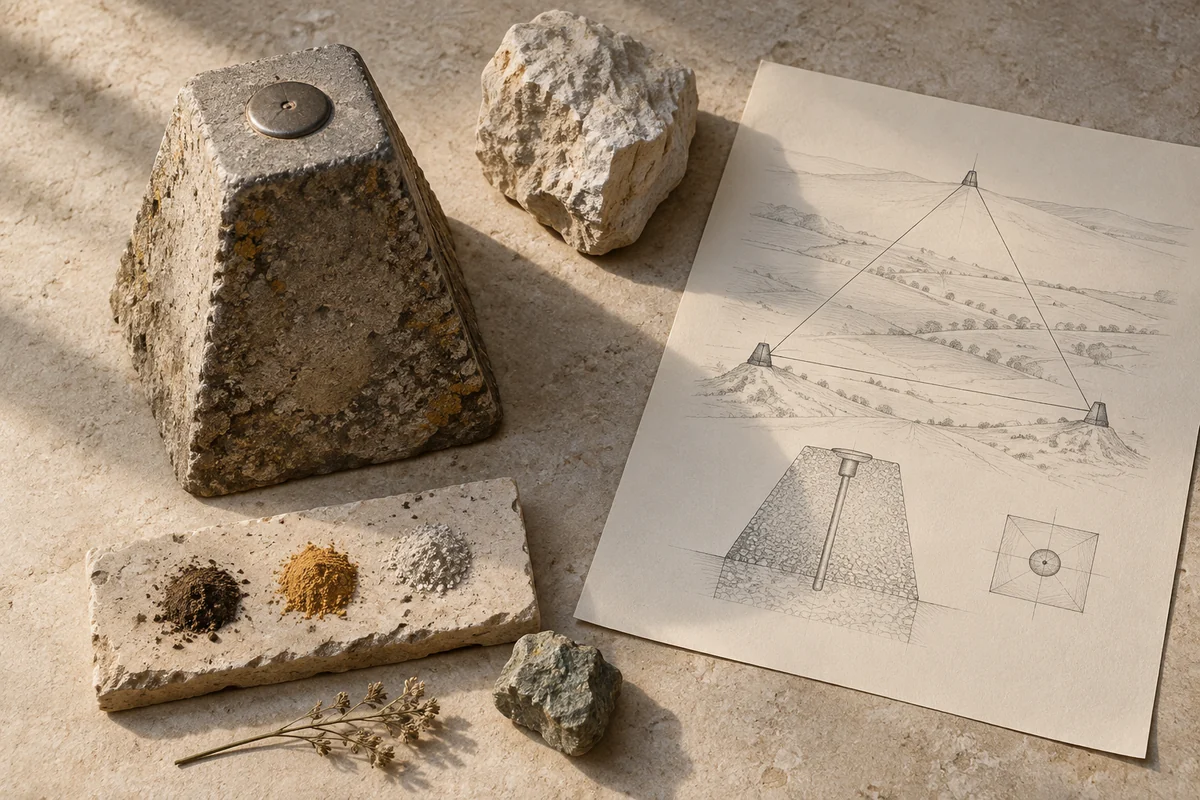
Three original interpretations of survey points & measured distance, informed by Struve Geodetic Arc. These images explore material and spatial ideas; they are not documentary views or measured reconstructions of the reference. The palette is drawn from the material portrait.
Publication credit: The Chromologium.
Image credits and reuseThe colour strip is the entry’s study palette. Artwork sources and image credits and reuse terms are recorded in the archive.
Artwork recordThree views of one material idea.
The Struve Geodetic Arc is a chain of survey points extending across ten countries, including Moldova. Its physical markers connect small interventions in the ground to the measurement of the planet.
Read the material study01 / Reading the material
A small marker, a planetary relation
The Struve Geodetic Arc connects modest physical markers to distances that cannot be understood from one site alone. The material object is small; its significance lies in a network of measured relationships. This is a useful reference for designs where a quiet local sign points to a much larger system.
02 / From surface to space
Read the whole.
Then the edge.
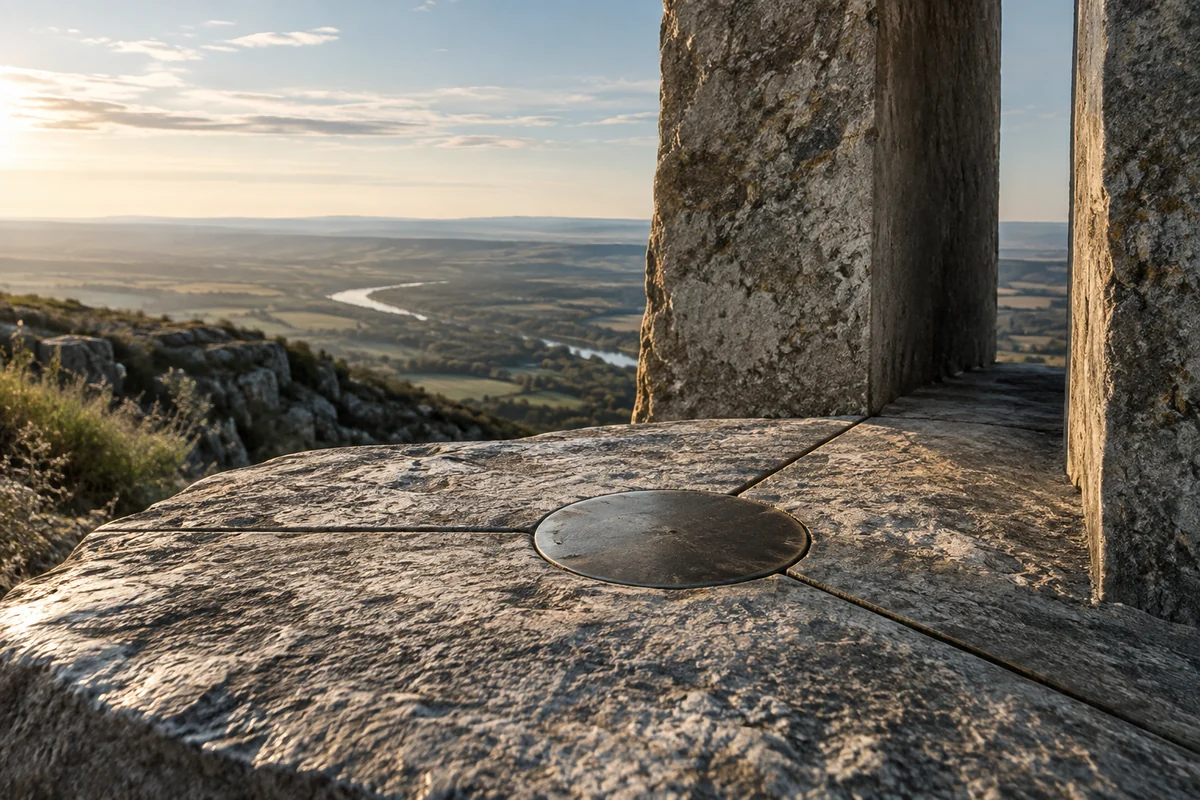
A point becomes meaningful through the lines linking it to other points. Show both the immediate ground and the wider diagram, keeping their scales explicit. Otherwise a survey marker can look like an isolated object with little visible purpose.
Compare the modest scale of a survey marker with the triangle it helps define. Draw measurement as a relationship between distant places.
03 / Colour in context
A palette you can work with.
Five tones drawn from the material portrait. Select a colour, compare it on paper and ink, or copy its value into your own study.
Surface
#806c4f
Colour values & paper / ink comparison
oklch(0.543 0.049 76.644) · primary
The colour stays fixed as its surroundings change.
Try the bench exercise
04 / At the bench
Make the observation tangible.
Make a set of small markers connected by an illustrative triangulation diagram. Separate the physical scale from the diagrammatic one. Use documented survey data for any numerical claim rather than deriving distances from the artwork.
Keep a view of the whole beside a close detail. Note the material, lighting and the one variable you changed.
Source & orientation
Keep the reference close.
UNESCO World Heritage Centre. (n.d.). Struve Geodetic Arc. Retrieved October 10, 2026.
The material readings and bench exercise are editorial studies of this particular reference. The artwork explores its material ideas; the linked source documents the place.
Artwork & cartographic records
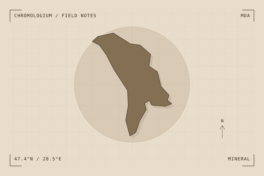
Artwork record · Geographic plate record. Map geometry: Natural Earth, public domain. The archive follows its map’s place names, including territories and disputed areas.
A closer look
Questions about this study
What does this study of Moldova focus on?
The Struve Geodetic Arc is a chain of survey points extending across ten countries, including Moldova. Its physical markers connect small interventions in the ground to the measurement of the planet.
Where can I find the original reference?
Struve Geodetic Arc, published by UNESCO World Heritage Centre. The artwork explores the reference’s material ideas; the linked source documents the place.
What could I try at the bench?
Make a set of small markers connected by an illustrative triangulation diagram. Separate the physical scale from the diagrammatic one. Use documented survey data for any numerical claim rather than deriving distances from the artwork.
Continue by material