Image note
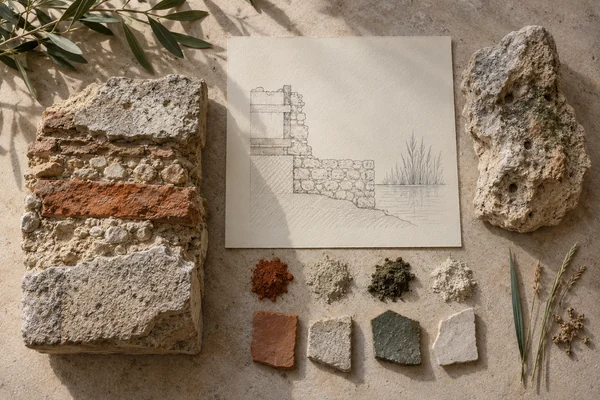
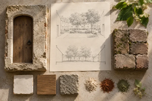
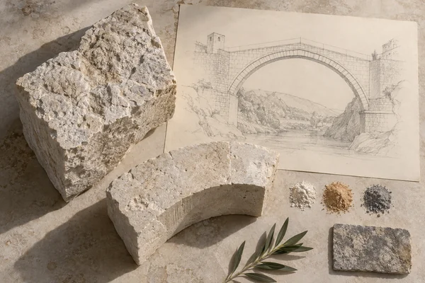
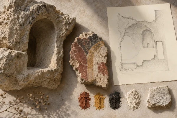
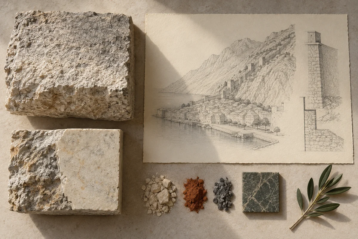
Three original interpretations of harbour masonry & walled streets, informed by Natural and Culturo-Historical Region of Kotor. These images explore material and spatial ideas; they are not documentary views or measured reconstructions of the reference. The palette is drawn from the material portrait.
Publication credit: The Chromologium.
Image credits and reuseThe colour strip is the entry’s study palette. Artwork sources and image credits and reuse terms are recorded in the archive.
Artwork recordThree views of one material idea.
Kotor’s historic town sits within a natural Adriatic harbour and has a long tradition of masonry. Its walls and monuments connect the compact urban fabric with the surrounding land and water.
Read the material study01 / Reading the material
The wall follows the harbour
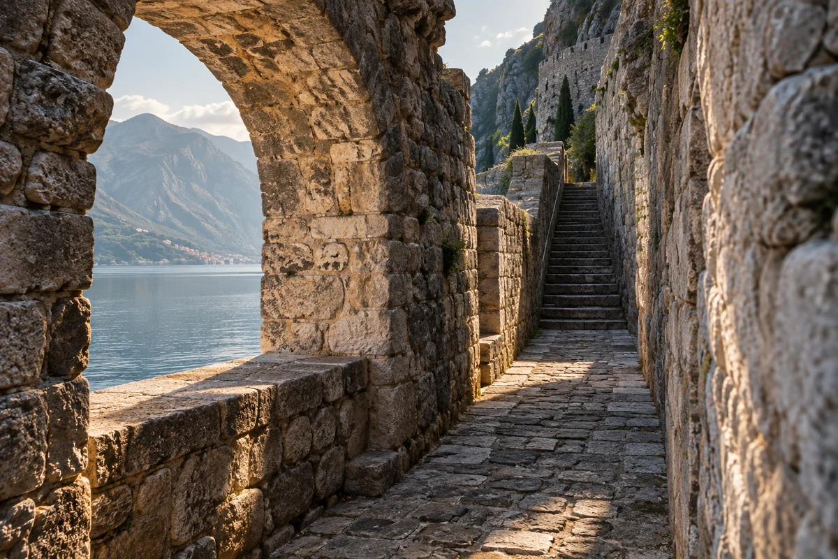
Kotor’s masonry can be read at the scale of a street edge and at the larger scale of the town’s boundary. The harbour and steep ground give those edges different conditions. A continuous material family helps connect them without making their geometry identical.
02 / From surface to space
Read the whole.
Then the edge.
Trace the boundary from the water toward rising terrain. Its direction changes with the setting, while smaller urban spaces remain nested inside it. A plan and a profile together explain this relationship more fully than a frontal image of a monument.
Trace the town boundary from harbour level toward the steep ground behind it. Compare the scale of a street wall with the larger defensive outline.
03 / Colour in context
A palette you can work with.
Five tones drawn from the material portrait. Select a colour, compare it on paper and ink, or copy its value into your own study.
Surface
#61533f
Colour values & paper / ink comparison
oklch(0.451 0.036 76.446) · primary
The colour stays fixed as its surroundings change.
Try the bench exercise
04 / At the bench
Make the observation tangible.
Compose a compact group of spaces between a calm horizontal plane and a rising mass. Let the enclosing edge respond to both. Keep the study abstract rather than merging separate monuments into an invented Kotor skyline.
Keep a view of the whole beside a close detail. Note the material, lighting and the one variable you changed.
Source & orientation
Keep the reference close.
UNESCO World Heritage Centre. (n.d.). Natural and Culturo-Historical Region of Kotor. Retrieved October 10, 2026.
The material readings and bench exercise are editorial studies of this particular reference. The artwork explores its material ideas; the linked source documents the place.
Artwork & cartographic records
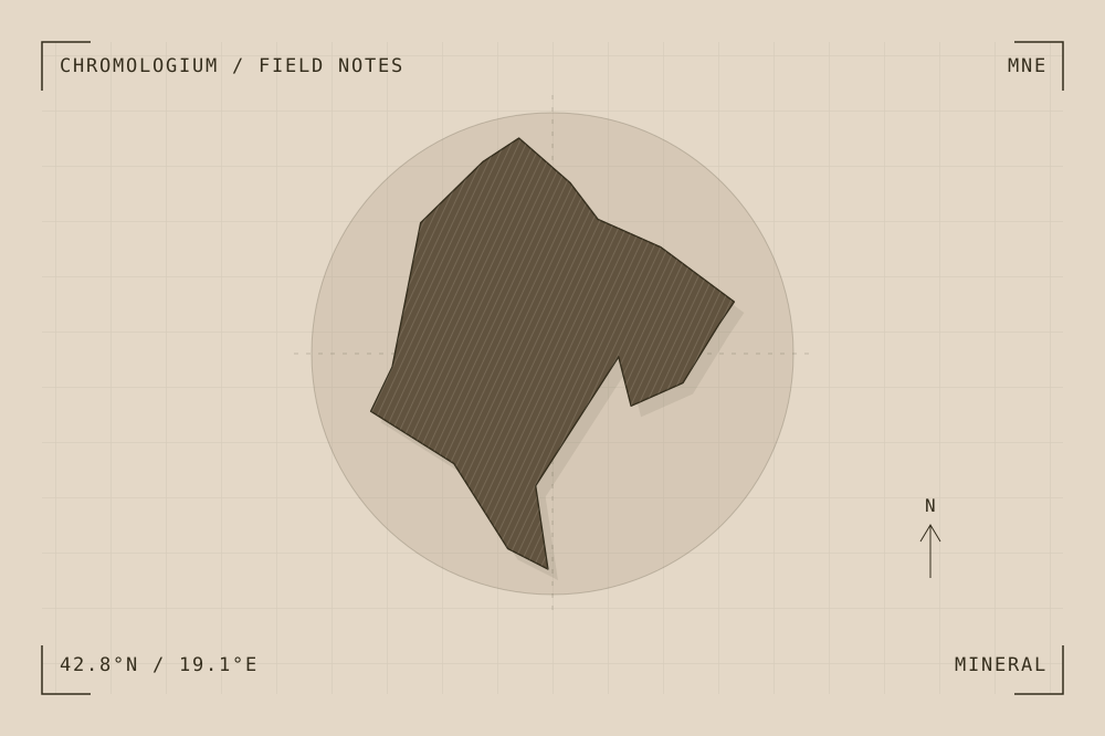
Artwork record · Geographic plate record. Map geometry: Natural Earth, public domain. The archive follows its map’s place names, including territories and disputed areas.
A closer look
Questions about this study
What does this study of Montenegro focus on?
Kotor’s historic town sits within a natural Adriatic harbour and has a long tradition of masonry. Its walls and monuments connect the compact urban fabric with the surrounding land and water.
Where can I find the original reference?
Natural and Culturo-Historical Region of Kotor, published by UNESCO World Heritage Centre. The artwork explores the reference’s material ideas; the linked source documents the place.
What could I try at the bench?
Compose a compact group of spaces between a calm horizontal plane and a rising mass. Let the enclosing edge respond to both. Keep the study abstract rather than merging separate monuments into an invented Kotor skyline.
Continue by material