Image note
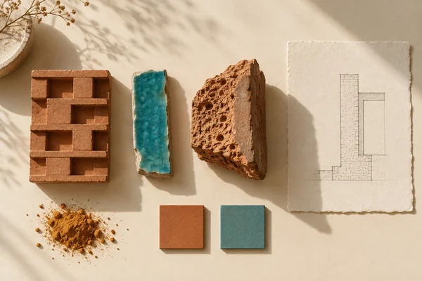
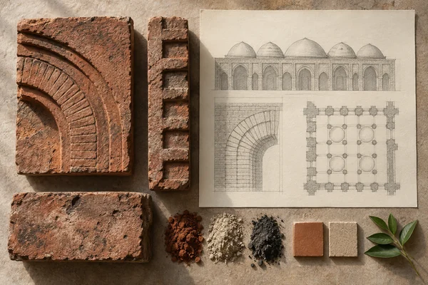
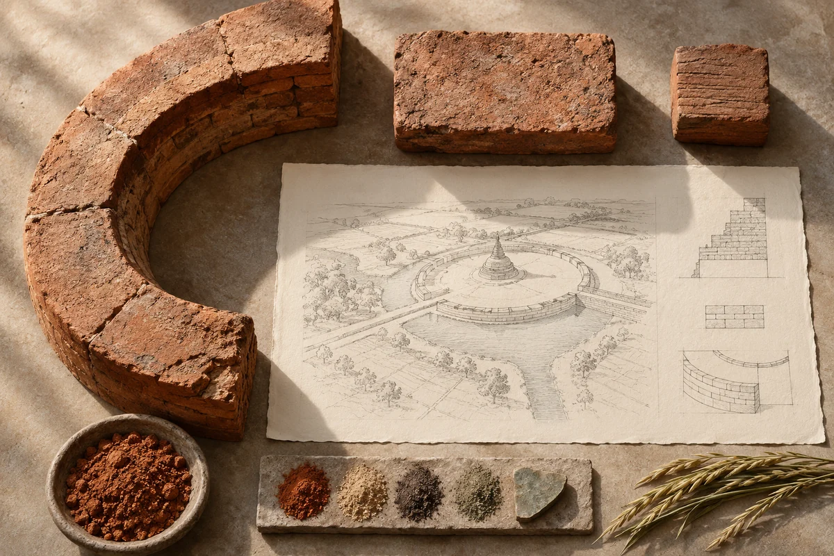
Three original interpretations of brick stupas & water-managed cities, informed by Pyu Ancient Cities. These images explore material and spatial ideas; they are not documentary views or measured reconstructions of the reference. The palette is drawn from the material portrait.
Publication credit: The Chromologium.
Image credits and reuseThe colour strip is the entry’s study palette. Artwork sources and image credits and reuse terms are recorded in the archive.
Artwork recordThree views of one material idea.
The Pyu cities of Halin, Beikthano and Sri Ksetra combine brick monuments with walls, moats and irrigation landscapes. Their remains connect urban organization to the management of agricultural water.
Read the material study01 / Reading the material
The city extends into water
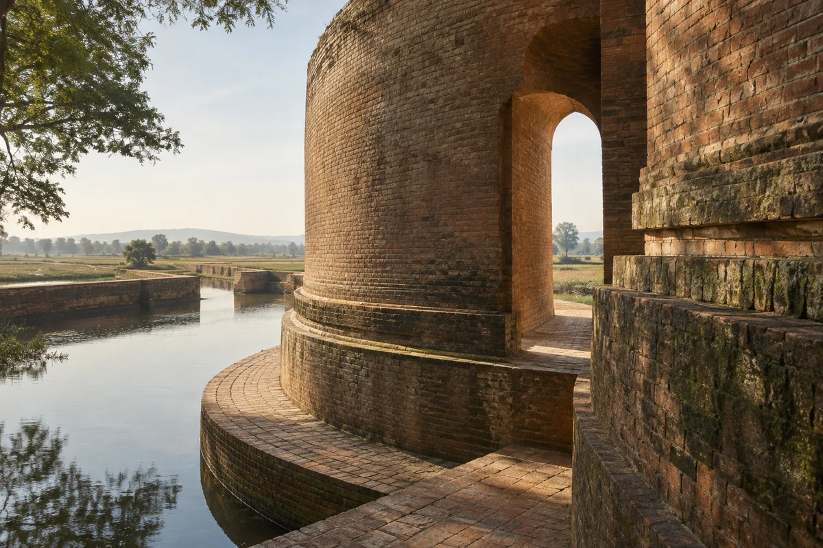
The Pyu cities connect brick monuments with walls, moats and agricultural water systems. The monumental centre is one part of a much larger organized landscape. A small brick unit and a broad curving enclosure therefore belong to related, but very different, scales of reading.
02 / From surface to space
Read the whole.
Then the edge.
Trace water beyond the visible monuments. A moat or irrigation line can establish connections that a building-focused view leaves out. Compare the enclosure in plan with the repeated units of a close material study.
Compare a circular or curving enclosure with the smaller units of brick construction. Trace how water infrastructure extends beyond the monumental centre.
03 / Colour in context
A palette you can work with.
Five tones drawn from the material portrait. Select a colour, compare it on paper and ink, or copy its value into your own study.
Surface
#5c3d25
Colour values & paper / ink comparison
oklch(0.390 0.057 57.830) · primary
The colour stays fixed as its surroundings change.
Try the bench exercise
04 / At the bench
Make the observation tangible.
Draw an abstract settlement boundary that connects to a wider water network. Use small repeated units only where construction needs to be legible. Keep the diagram illustrative rather than assigning undocumented hydraulic performance to the ancient systems.
Keep a view of the whole beside a close detail. Note the material, lighting and the one variable you changed.
Source & orientation
Keep the reference close.
UNESCO World Heritage Centre. (n.d.). Pyu Ancient Cities. Retrieved October 10, 2026.
The material readings and bench exercise are editorial studies of this particular reference. The artwork explores its material ideas; the linked source documents the place.
Artwork & cartographic records
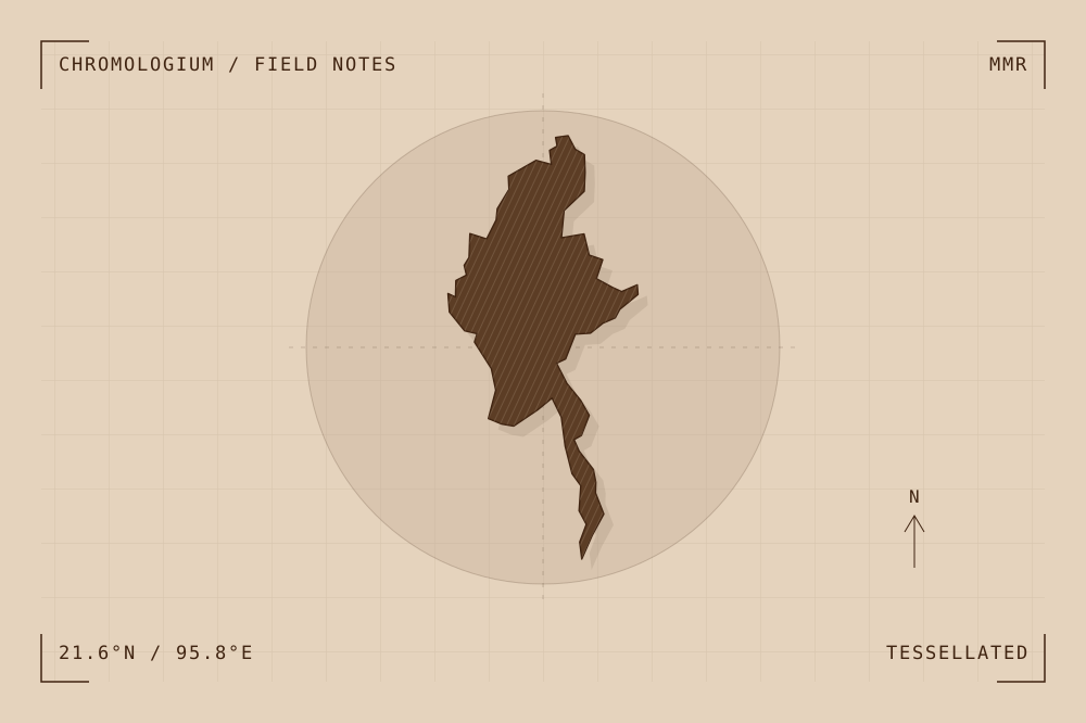
Artwork record · Geographic plate record. Map geometry: Natural Earth, public domain. The archive follows its map’s place names, including territories and disputed areas.
A closer look
Questions about this study
What does this study of Myanmar focus on?
The Pyu cities of Halin, Beikthano and Sri Ksetra combine brick monuments with walls, moats and irrigation landscapes. Their remains connect urban organization to the management of agricultural water.
Where can I find the original reference?
Pyu Ancient Cities, published by UNESCO World Heritage Centre. The artwork explores the reference’s material ideas; the linked source documents the place.
What could I try at the bench?
Draw an abstract settlement boundary that connects to a wider water network. Use small repeated units only where construction needs to be legible. Keep the diagram illustrative rather than assigning undocumented hydraulic performance to the ancient systems.
Continue by material