DOM / Stone & substance
Dominican Republic
Urban grids & colonial thresholds
Develop a system from this study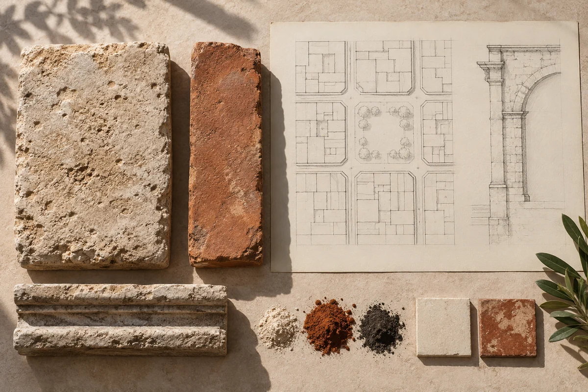
Image note
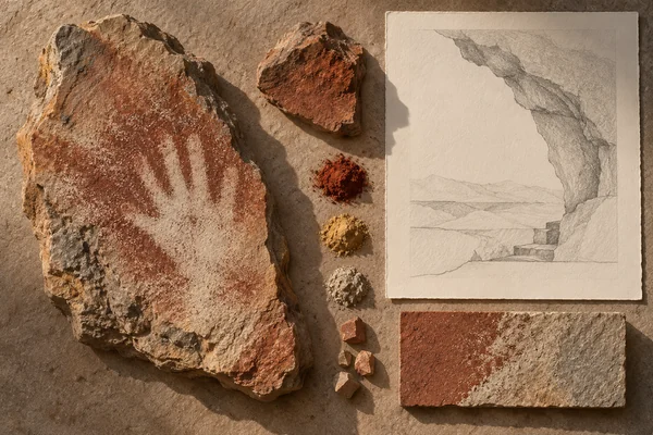
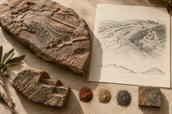
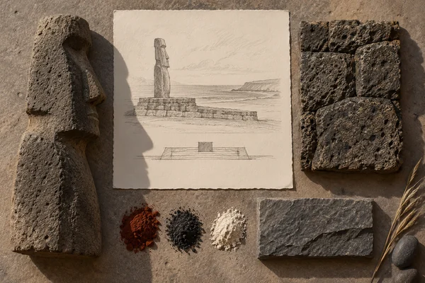
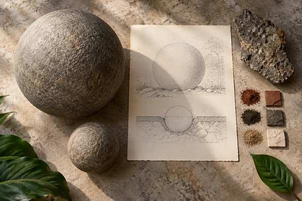
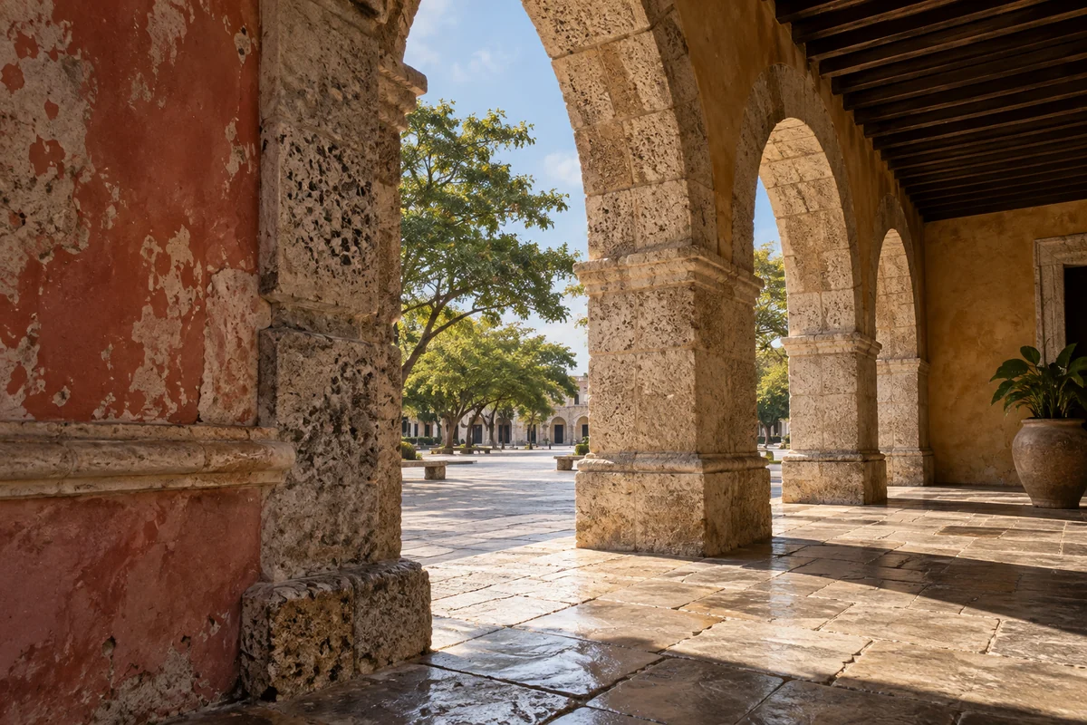
Three original interpretations of urban grids & colonial thresholds, informed by Colonial City of Santo Domingo. These images explore material and spatial ideas; they are not documentary views or measured reconstructions of the reference. The palette is drawn from the material portrait.
Publication credit: The Chromologium.
Image credits and reuseThe colour strip is the entry’s study palette. Artwork sources and image credits and reuse terms are recorded in the archive.
Artwork recordThree views of one material idea.
Santo Domingo’s colonial city developed a street grid and civic building types that influenced later colonial settlements. Reading its plan also means recognizing the imperial history that produced it.
Read the material study01 / Reading the material
The exception inside the grid
Santo Domingo’s street grid offers a clear repeated unit, but the most revealing moments occur where a civic space interrupts it. A square changes the relationship between frontage, route and open ground. The regular field makes that difference legible before ornament or colour enters the picture.
02 / From surface to space
Read the whole.
Then the edge.
Follow the edge of a block toward a public opening. The street’s enclosed view expands, and individual buildings acquire a different relationship to the space in front of them. Read that formal order alongside the imperial history that shaped the colonial city.
Move from the repeated street block to the particular edge of a public square. Where does the regular grid give way to a special civic space?
03 / Colour in context
A palette you can work with.
Five tones drawn from the material portrait. Select a colour, compare it on paper and ink, or copy its value into your own study.
Surface
#7c5d42
Colour values & paper / ink comparison
oklch(0.503 0.057 62.034) · primary
The colour stays fixed as its surroundings change.
Try the bench exercise
04 / At the bench
Make the observation tangible.
Draw a compact grid, then remove or reshape one unit to make a shared space. Test how entrances address it. Keep the exercise about spatial hierarchy rather than presenting a colonial planning model as universally desirable.
Keep a view of the whole beside a close detail. Note the material, lighting and the one variable you changed.
Source & orientation
Keep the reference close.
UNESCO World Heritage Centre. (n.d.). Colonial City of Santo Domingo. Retrieved October 10, 2026.
The material readings and bench exercise are editorial studies of this particular reference. The artwork explores its material ideas; the linked source documents the place.
Artwork & cartographic records
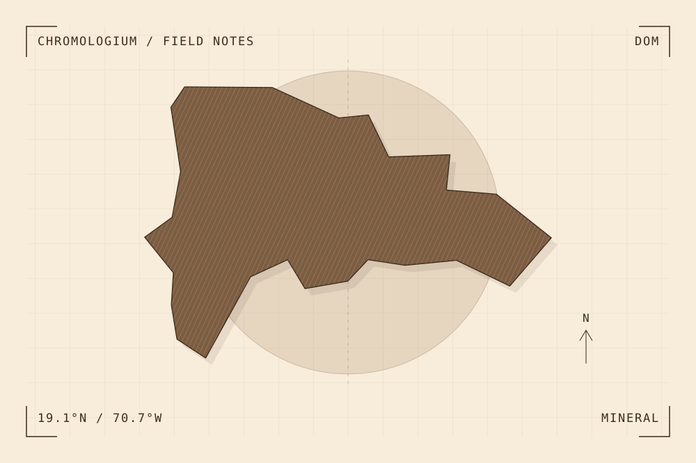
Artwork record · Geographic plate record. Map geometry: Natural Earth, public domain. The archive follows its map’s place names, including territories and disputed areas.
A closer look
Questions about this study
What does this study of Dominican Republic focus on?
Santo Domingo’s colonial city developed a street grid and civic building types that influenced later colonial settlements. Reading its plan also means recognizing the imperial history that produced it.
Where can I find the original reference?
Colonial City of Santo Domingo, published by UNESCO World Heritage Centre. The artwork explores the reference’s material ideas; the linked source documents the place.
What could I try at the bench?
Draw a compact grid, then remove or reshape one unit to make a shared space. Test how entrances address it. Keep the exercise about spatial hierarchy rather than presenting a colonial planning model as universally desirable.
Continue by material