GNB / Stone & substance
Guinea-Bissau
Mangroves, mudflats & tidal margins
Develop a system from this study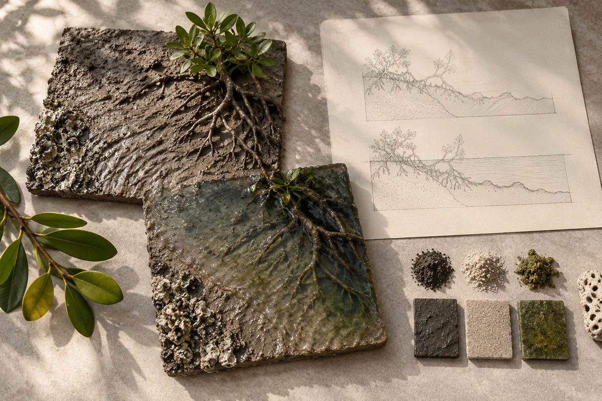
Image note
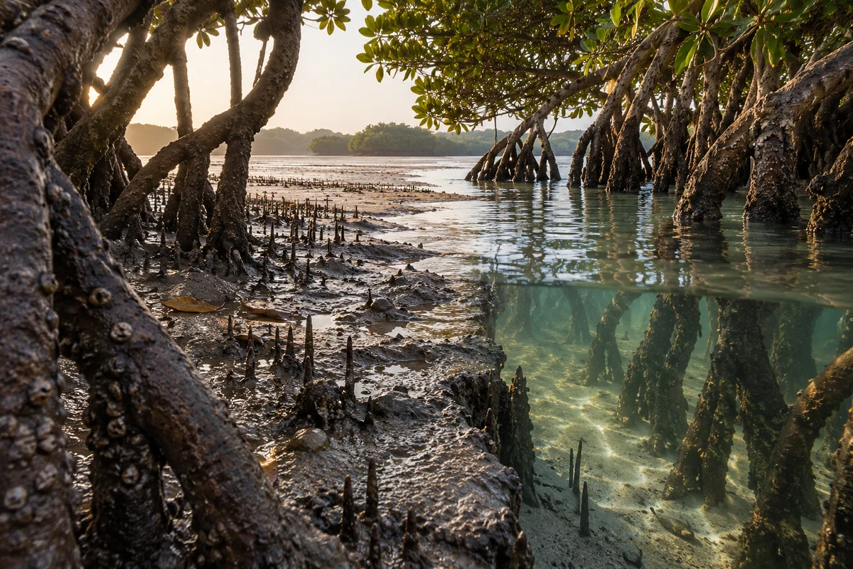
Three original interpretations of mangroves, mudflats & tidal margins, informed by Coastal and Marine Ecosystems of the Bijagós Archipelago – Omatí Minhô. These images explore material and spatial ideas; they are not documentary views or measured reconstructions of the reference. The palette is drawn from the material portrait.
Publication credit: The Chromologium.
Image credits and reuseThe colour strip is the entry’s study palette. Artwork sources and image credits and reuse terms are recorded in the archive.
Artwork recordThree views of one material idea.
The Bijagós Archipelago contains connected marine and intertidal environments. Mangroves, mudflats and island shores form changing boundaries that support the archipelago’s ecological life.
Read the material study01 / Reading the material
One shore, more than one state
The Bijagós intertidal landscape is read through changing exposure. Mudflat, mangrove edge and water are not static bands: the same ground can occupy a different visual role as water moves. The interesting boundary is a relationship through time.
02 / From surface to space
Read the whole.
Then the edge.
A single shoreline image cannot show every state. Compare two explicitly different moments or make a paired diagram, keeping the landform fixed while the water boundary changes. This reveals continuity beneath apparent visual change.
Compare the same shoreline at different tidal stages. Let exposed ground and submerged ground become two states of the same composition.
03 / Colour in context
A palette you can work with.
Five tones drawn from the material portrait. Select a colour, compare it on paper and ink, or copy its value into your own study.
Surface
#4e4330
Colour values & paper / ink comparison
oklch(0.389 0.034 81.030) · primary
The colour stays fixed as its surroundings change.
Try the bench exercise
04 / At the bench
Make the observation tangible.
Create two abstract compositions with identical ground contours and different water levels. Let exposed and submerged areas exchange emphasis. Keep the exercise illustrative, without assigning tidal heights or habitat conditions that the source does not establish.
Keep a view of the whole beside a close detail. Note the material, lighting and the one variable you changed.
Source & orientation
Keep the reference close.
UNESCO World Heritage Centre. (n.d.). Coastal and Marine Ecosystems of the Bijagós Archipelago – Omatí Minhô. Retrieved October 10, 2026.
The material readings and bench exercise are editorial studies of this particular reference. The artwork explores its material ideas; the linked source documents the place.
Artwork & cartographic records
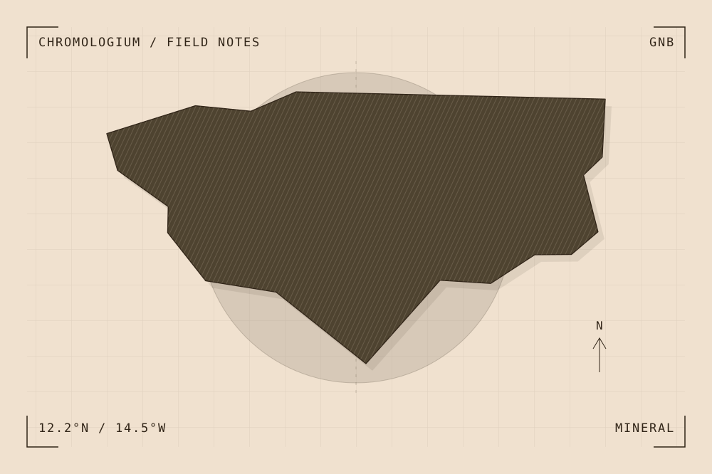
Artwork record · Geographic plate record. Map geometry: Natural Earth, public domain. The archive follows its map’s place names, including territories and disputed areas.
A closer look
Questions about this study
What does this study of Guinea-Bissau focus on?
The Bijagós Archipelago contains connected marine and intertidal environments. Mangroves, mudflats and island shores form changing boundaries that support the archipelago’s ecological life.
Where can I find the original reference?
Coastal and Marine Ecosystems of the Bijagós Archipelago – Omatí Minhô, published by UNESCO World Heritage Centre. The artwork explores the reference’s material ideas; the linked source documents the place.
What could I try at the bench?
Create two abstract compositions with identical ground contours and different water levels. Let exposed and submerged areas exchange emphasis. Keep the exercise illustrative, without assigning tidal heights or habitat conditions that the source does not establish.
Continue by material