Image note
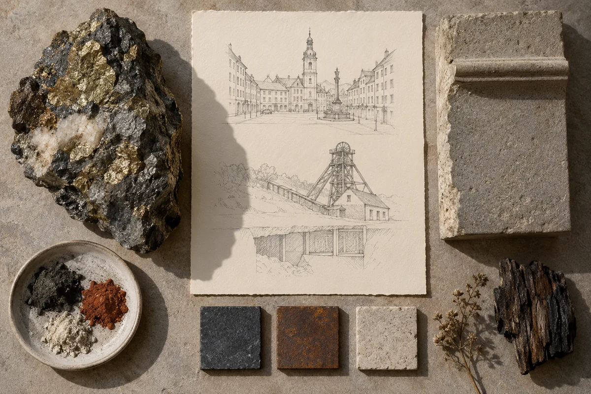
Three original interpretations of mining landscapes & civic squares, informed by Historic Town of Banská Štiavnica and the Technical Monuments in its Vicinity. These images explore material and spatial ideas; they are not documentary views or measured reconstructions of the reference. The palette is drawn from the material portrait.
Publication credit: The Chromologium.
Image credits and reuseThe colour strip is the entry’s study palette. Artwork sources and image credits and reuse terms are recorded in the archive.
Artwork recordThree views of one material idea.
Banská Štiavnica connects a historic mining town with technical remains in its surrounding landscape. Civic buildings and public spaces grew alongside the infrastructure of extraction and metallurgy.
Read the material study01 / Reading the material
The square and the working landscape
Banská Štiavnica connects civic architecture with the technical landscape of mining. A formal public square and a practical industrial geometry belong to the same economic history. Studying one without the other would make the town’s material setting harder to understand.
02 / From surface to space
Read the whole.
Then the edge.
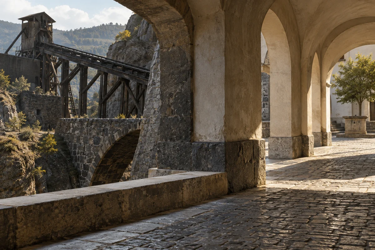
Trace the relationship between the civic centre and the surrounding technical remains. Different routes and structures can serve distinct functions while remaining part of one larger system. The shift from public frontage to working infrastructure offers a useful change of scale.
Compare the formal space of a town square with the practical geometry of mining infrastructure. Trace the economic relationship between them.
03 / Colour in context
A palette you can work with.
Five tones drawn from the material portrait. Select a colour, compare it on paper and ink, or copy its value into your own study.
Surface
#3f3121
Colour values & paper / ink comparison
oklch(0.324 0.033 69.961) · primary
The colour stays fixed as its surroundings change.
Try the bench exercise
04 / At the bench
Make the observation tangible.
Pair an ordered civic-space diagram with a more functional network of routes and nodes. Keep their connection visible. Use the source for historical identification rather than inventing operational details for mining equipment or water systems.
Keep a view of the whole beside a close detail. Note the material, lighting and the one variable you changed.
Source & orientation
Keep the reference close.
UNESCO World Heritage Centre. (n.d.). Historic Town of Banská Štiavnica and the Technical Monuments in its Vicinity. Retrieved October 10, 2026.
The material readings and bench exercise are editorial studies of this particular reference. The artwork explores its material ideas; the linked source documents the place.
Artwork & cartographic records
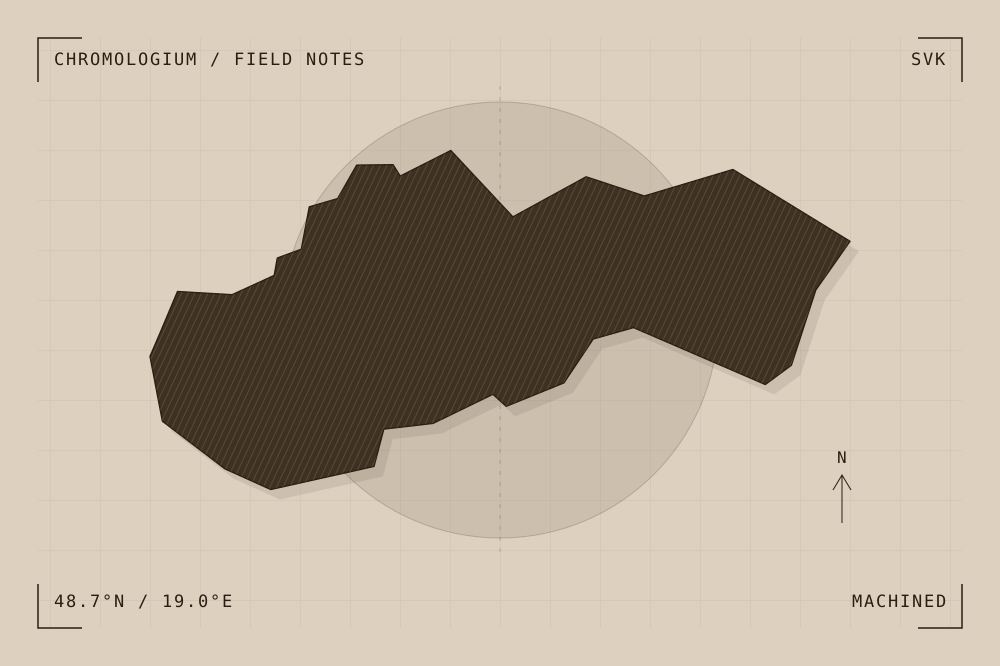
Artwork record · Geographic plate record. Map geometry: Natural Earth, public domain. The archive follows its map’s place names, including territories and disputed areas.
A closer look
Questions about this study
What does this study of Slovakia focus on?
Banská Štiavnica connects a historic mining town with technical remains in its surrounding landscape. Civic buildings and public spaces grew alongside the infrastructure of extraction and metallurgy.
Where can I find the original reference?
Historic Town of Banská Štiavnica and the Technical Monuments in its Vicinity, published by UNESCO World Heritage Centre. The artwork explores the reference’s material ideas; the linked source documents the place.
What could I try at the bench?
Pair an ordered civic-space diagram with a more functional network of routes and nodes. Keep their connection visible. Use the source for historical identification rather than inventing operational details for mining equipment or water systems.
Continue by material